Dubai Coastal Zone Monitoring Program

Measurements

The below describes the available types of measurements that are regularly collected within the frame work of Dubai’s coastal monitoring program.

Waves Water Temp. High Tide Low Tide

CWMS have been collecting current and wave data from nearshore and offshore stations. The data includes current speed and direction, significant wave height, peak wave direction, peak wave period, water temperature and water depth.

Currents are collected using Acoustic Doppler Current Profilers (ADCPs) that record currents over 10-minute intervals for pre-determined depths, while waves are recorded at either 30-minute or hourly time intervals depending the on the station. Water depth is actually the distance from the top of the ADCP transducer to the water surface. Thus, the "datum" in this case, is the ADCP transducer, so it it is independent of MSL or DMD. "Water level" is also equivalent to water depth minus the distance from the seabed to the top of the transducer. Transducer "altitude" (i.e., distance from the seabed) is either 0.5 m or 0.75 m, depending on the type of ADCP frame.

The Water level data are recorded with tide gauges referenced to DMD level every 10 or 15 minutes at six locations along the Dubai coast. The tide gauges located at Mina Seyahi, Jumeirah Beach Hotel, Shindagha, Dubai Festival City measure water level every 10 minutes. The tide gauges located at Jebel Ali and Mamzar record tidal slope, maximum positive wave amplitude, maximum negative wave amplitude, mean wave period, mean zero upcrossing period, wave period, wave height, and absolute pressure every 30 minutes and water temperature, water temperature error, absolute pressure, absolute pressure error and water level every 15 minutes.

Bouy
Wind Air Temp.

Meteorological stations in the near shore and offshore waters are operated by CWMS. These meteorological stations measure wind speed and direction, gust speed, air temperature, air pressure, relative humidity and visibility every 10 minutes.

Meteorological

Light Detection and Ranging (LIDAR) is a remote sensing system used to collect bathymetry data using aircraft-mounted lasers capable of recording elevation measurements. The LIDAR survey of the Dubai coastal zone was undertaken by Dubai Municipality to provide detailed information on the coastal bathymetry. The bathymetric data is available for the entire Dubai Coastal zone with coverage of over 1000 km2. Data resolution varies from 5x5 to 3x3 meters.

The first hydrographic Light Detection and Ranging (LIDAR) survey of the Dubai coastal zone was undertaken in 2004, then it was followed by a second LIDAR survey in 2007 and the most up to date LIDAR survey was conducted in 2013.

LIDAR

The Coastal Zone and Waterways Management Section conducts regular bathymetric, topographic and structural surveys on pre-defined profile lines starting from +4m DMD to a water depth of -6m. The surveys are undertaken in order to monitor the beach changes. DGPS is used for topography and structural survey while single beam echo sounder and Differential GPS system are used for the bathymetric surveys.

Boat Bathy

The two HF RADARS collect U and V components of surface currents every 30 minutes while wave height, wave period, wave direction and wind direction every 10 minutes. The radars deployed in Jumeirah and Umm Suqeim cover the area from Port Rashid to the Palm Jumeirah and are operating at 43.75 megahertz with a range between 15 and 20km. The surface current data are obtained at a spatial resolution of about 215m from shoreline to offshore water depths down to 15-20m and are available every 30 minutes. The system is also capable of measuring wave period, wave height, wave direction and wind speed every 10 minutes.

Hf Radar 1 Hf Radar 2

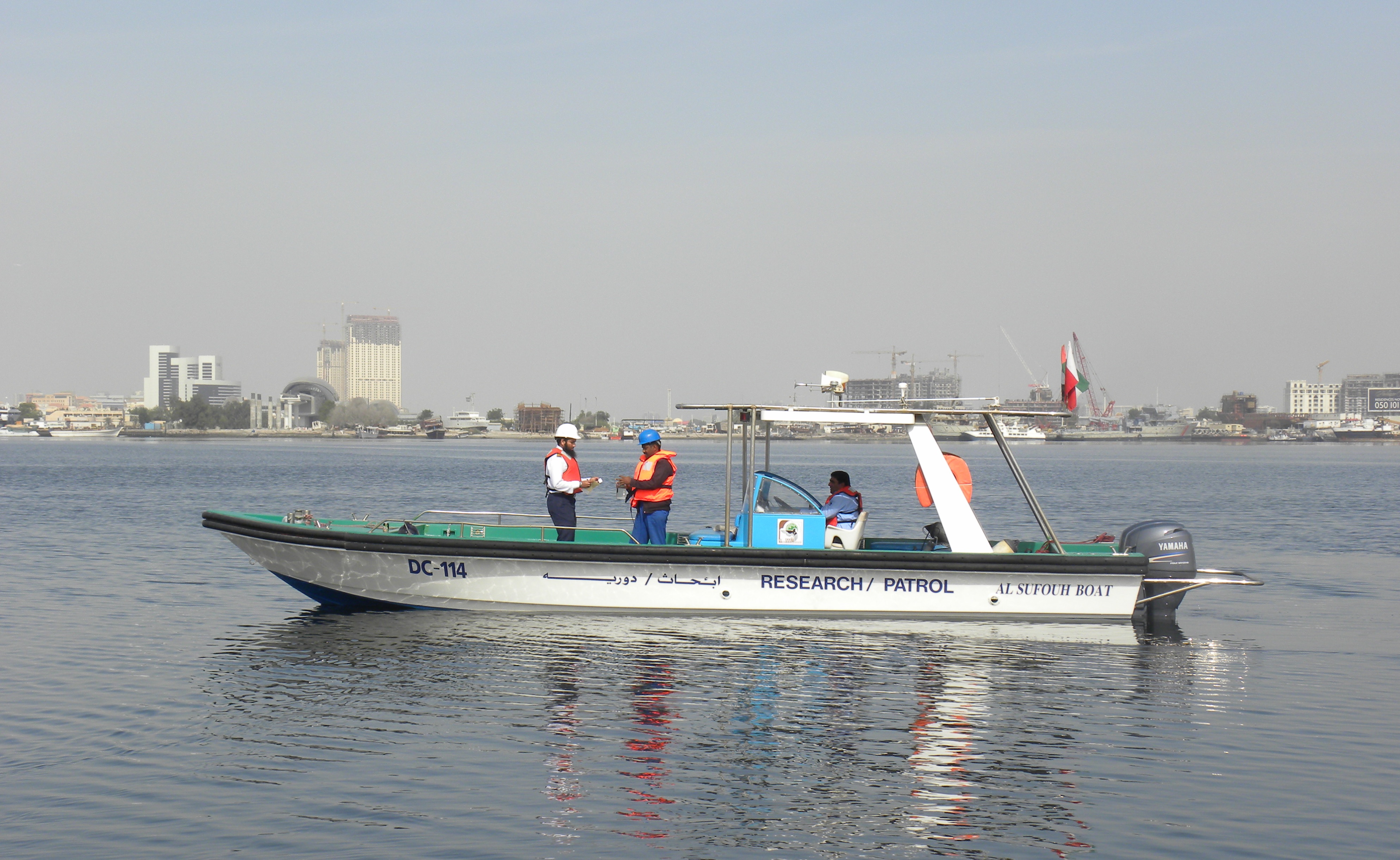
Water quality data are continuously collected nearshore and offshore using multi-parameter water quality sondes that measure temperature, conductivity, salinity, dissolved oxygen, pH, turbidity and chlorophyll every 30 minutes at a depth of approximately 1m.

Moreover, routine monitoring is carried out at 30 monitoring locations on a quarterly basis where the samples are analyzed by Dubai Municipality Central Lab - Environmental Laboratory. Parameters monitored are:

Physio-chemical Parameters:
Temperature, Salinity, Conductivity, pH, Turbidity, Dissolved Oxygen

Chemical Parameter:
Phosphate- phosphorous, nitrate- nitrogen, total nitrogen and aromatic petroleum hydrocarbon

Biological Parameters (at selected locations):
chlorophyll-a, Phytoplankton (species diversity, cell count & density), Zooplankton (biomass, population, density & diversity), Benthos (biomass & diversity)

Sediment Quality (annually):
Heavy metals: Chromium, Zinc, Nickel, Lead, Cadmium, and Copper

Boat

Sea bed characterization map for the entire Dubai coast was undertaken by Dubai Municipality. It included comprehensive field data collection as well as analysis of sea bed mapping, core, and grab sampling data.

LIDAR

High resolution cameras are used to capture images (still, average, variance and video) of beaches at 30-min intervals during day light time. These images are geo rectified using ground control points, while image analysis is carried out using Matlab and GIS tools. The data products from this analysis include periodical shorelines every spring tide, pre and post Shamal shorelines, inter-tidal beach profiles, location of rip currents and sand bars, as well as wave run-up limit during Shamal.

Camera 1 Camera 2